
Cyclists.com

Col de Porte from Grenoble

Grenoble, FranceRoad

Routed from the map This classic road was traced on OpenStreetMap and measured against the terrain model; no member has recorded it yet. Ridden it? Add your recording and photos.

18 km
Distance
1,110 m
Elevation gain
Moderate
Difficulty
Paved
Surface
Download GPXMap

Elevation profile

Total ascent
1,110 m
Distance
18 km
05001,0001,500m0 km5101518 km1,324 m · highest, at 17.7 kmStartFinish

Route overview

This route suits cyclists prepared for a steep 1110 m ascent over 17.7 km.

A 17.7 km point-to-point climb to Col de Porte from Grenoble with 1110 m of ascent on mostly paved roads.

Starting near Grenoble, the route ascends over 15.4 km from 2.2 km into the ride, gaining 1102 m of elevation up to 1323 m at the Col de Porte. The climb is steep with an average gradient of 7.2% and a maximum of 14.4%. Nearly all the route is paved with 99% paved surface and just 1% unmapped. The roads consist mainly of main roads (68%) including 13.9 km on the D 512, with 12.1 km on main roads without a cycle lane and 5.7 km on roads with speed limits over 80 km/h. There are cycle lanes for 2.2 km and smaller portions of path, minor road, and quiet street. Facilities near the start in Grenoble include bakeries, cafés, a bike shop, and toilets. Along the climb, water is available at 2.3 km, 7.3 km, 10.8 km, and at the summit. Shops and cafés are near 5.6 km and 13 km. The longest stretch without café, shop, or water is 4.2 km between 13.5 km and the finish. The route ends at Col de Porte with café and restaurant options.

Highlights

  • Steep 15.4 km climb to 1323 m at Col de Porte
  • Route mainly on D 512 main road
  • Water points at 2.3 km, 7.3 km, 10.8 km, and summit
  • Nearby facilities in Grenoble start and Col de Porte finish

Along the route

Measured from the recorded track and OpenStreetMap.

Places passed

  1. La Tronche 3.3 km
  2. Le Gorget 4 km
  3. Maubec 4.3 km
  4. Bouqueron 4.7 km
  5. Corenc 5.6 km
  6. Bâtonnière 8.5 km
  7. Château Pilon 8.5 km
  8. La Chapelle 9 km
  9. Vence 10 km
  10. Le Bret 10.2 km
  11. Pillonnière 11.5 km
  12. Boulière 12 km
  13. Le Sappey-en-Chartreuse 13.1 km
  14. Sarcenas 15.2 km

On the road

  • Water 0 km
  • Water 0 km
  • Pizza for you (Restaurant) 0 km
  • Water 0 km
  • L'Orangerie Perchée (Restaurant) 0 km
  • L'Orangerie Perchée (Restaurant) 0 km
  • Water 0.1 km
  • Water 0.1 km
  • Water 0.1 km
  • Café Stendhal (Café) 0.3 km
  • L'Odace (Restaurant) 0.3 km
  • Les Toqués (Café) 0.3 km

Climbs

ClimbStarts atLengthGainAverageMaxTop
La Tronche climb2.2 km15.4 km1102 m7.2 %14.4 %1323 m

High point 1323 m at 17.6 km; low point 213 m.

La Tronche climb · starts at 2.2 km

15.4 km at 7.2% · 1102 m
4006008001,0001,200m8.3%9.0%7.4%11%4.1%9.0%3.9%5.7%7.7%8.4%7.0%6.4%0 km123456789101112131415.4 km1,323 msteepest 11.1%
< 4%4 – 7%7 – 10%> 10%

Practical information

Surface
Paved
Route shape
Point to point
Riding time
1 h 16 min
Best months
Apr to Oct — daily highs of 18–29 °C in those months

Know before you go

  • 12.1 km on main roads without cycle lanes
  • 5.7 km on roads with 80 km/h+ speed limit
  • 4.2 km without café, shop or water from 13.5 km

Routes are for inspiration. Roads, surfaces and conditions change — check locally and ride within your limits.

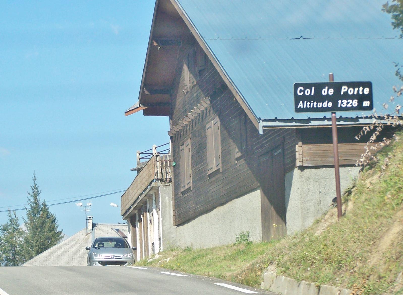
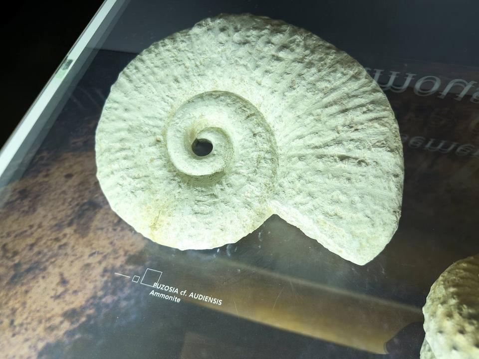
2 photographs from the road

Photo: Florian Pépellin · CC BY-SA 3.0 · Wikimedia Commons · Photo: Remontees · CC BY-SA 4.0 · Wikimedia Commons

More rides from Grenoble