
Prato Nevoso from Frabosa Sottana
- 11 km
- 735 m
- Easy
- Paved
Elevation profile
- 735 m
- 11 km
Route overview
This ride suits cyclists prepared for a sustained 10 km climb with over 700 m elevation gain.
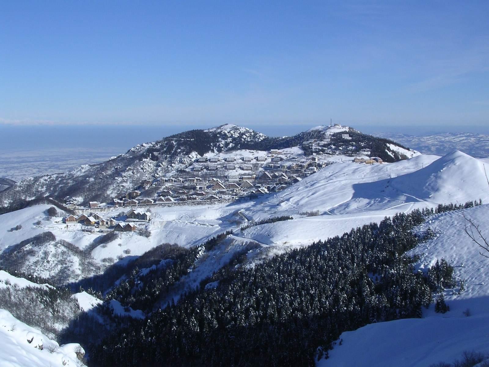
A 10.9 km climb from Frabosa Sottana to Prato Nevoso, Italy, gaining 735 m.
The route starts near Frabosa Sottana at about 0.6 km altitude and climbs steadily over 10.3 km to Prato Nevoso at 1636 m. The climb averages 7.1% with a maximum gradient of 11%, mostly uphill with 94% climbing. The first half includes about 51% of the total elevation gain. The surface is predominantly paved (93%) with a short gravel section (7%). Riders mainly follow the SP327 for 7.3 km on main roads, with 7.2 km lacking a dedicated cycle lane. Other parts include minor roads, quiet streets, and 0.6 km on a track. There is a 4.2 km stretch without café, shop or water between km 3.9 and 8.1. Near the top around km 8.1–8.7 there are facilities including a café, supermarket, drinking water, and toilets, all within 17 to 223 metres off route. At the finish there are supermarkets, a café, bakery, and restaurant.
Highlights
- 10.3 km climb averaging 7.1%
- Top altitude 1636 m at km 10.9
- SP327 main road for 7.3 km
- Facilities near km 8.1–8.7
Along the route
Places passed
On the road
Climbs
| Climb | Starts at | Length | Gain | Average | Max | Top |
|---|---|---|---|---|---|---|
| Monte Malanotte | 0.6 km | 10.3 km | 735 m | 7.1 % | 11 % | 1636 m |
Monte Malanotte · starts at 0.5 km
Practical information
- Paved
- Point to point
- 47 min
- Jun to Sep — daily highs of 19–25 °C in those months
Know before you go
- 7.2 km on main roads without cycle lane
- 4.2 km without café, shop or water between km 3.9 and 8.1
- Short gravel section covers 7% of route