
Cyclists.com

Col des Saisies from Flumet

Flumet, FranceRoad

Routed from the map This classic road was traced on OpenStreetMap and measured against the terrain model; no member has recorded it yet. Ridden it? Add your recording and photos.

15 km
Distance
801 m
Elevation gain
Moderate
Difficulty
Paved
Surface
Download GPXMap

Elevation profile

Total ascent
801 m
Distance
15 km
05001,0001,5002,000m0 km51015 km1,656 m · highest, at 14.3 kmStartFinish

Route overview

Suitable for cyclists ready for a medium-length climb with 801 m elevation gain over 15 km.

Climb to Col des Saisies from Flumet in France, 15 km with 801 m elevation gain.

This 15 km route starts at 905 m in Flumet and climbs steadily to 1655 m at Col des Saisies. It features three main climbs: the first 3.5 km rises 207 m at an average gradient of 6%, the second 6.7 km ascends 480 m averaging 7.2%, and the final 2.1 km climbs 111 m at 5.2%. Steep sections reach up to 10% gradient. The maximum altitude is reached at 14.3 km. Most of the route is on paved roads (96%), with minor gravel in 4% of the distance. The road surface consists mostly of minor roads (62%), with 28% on main roads including 4.2 km without a cycle lane, of which 3.7 km have speed limits over 80 km/h. There is also a short 1 km quiet street section. The longest named road on the route is the D 71a, ridden for 6.3 km. Amenities along the way include bakeries at the start and near km 6.6, plus a bar and restaurants near the finish. Drinking water is available at km 0.1, 6.6, and a spring at 10.5 km. Toilets are located at km 0, 6.6, and near the finish. Shops and medical facilities are within reach along the route. The longest uninterrupted stretch without café, shop, or water runs 3.9 km from 6.6 to 10.5 km.

Highlights

  • Col des Saisies summit at 1655 m
  • Long 6.7 km climb at 7.2% average gradient
  • Paved roads with minor gravel sections
  • La Chaumière bakery at start

Along the route

Measured from the recorded track and OpenStreetMap.

Places passed

  1. Les Biolles 3 km
  2. Notre-Dame-de-Bellecombe 3.5 km
  3. Bourjaillet 3.9 km
  4. Le Sauzier 6.1 km
  5. Crest-Voland 6.6 km
  6. Paravy 7.4 km
  7. Les Reys 7.8 km
  8. Le Magnier 8.4 km

On the road

  • Water 0.1 km
  • Auberge des Eglantiers (Restaurant) 0.1 km
  • L'ardoise (Restaurant) 0.2 km
  • L'équipe (Restaurant) 3.5 km
  • Le 145 Beef N' Beer (Restaurant) 3.5 km
  • L'Ambiance (Restaurant) 3.5 km
  • Water 4 km
  • Le Passe Partout (Restaurant) 6.4 km
  • Water 6.6 km
  • L'arrêt Bognette (Restaurant) 6.6 km
  • Water 6.6 km
  • Water 6.6 km

Climbs

ClimbStarts atLengthGainAverageMaxTop
Flumet climb0 km3.5 km207 m6 %8.5 %1112 m
Mont Lachat4.4 km6.7 km480 m7.2 %10 %1555 m
12.1 km2.1 km111 m5.2 %7.8 %1655 m

High point 1655 m at 14.3 km; low point 905 m. Passes beneath Mont Lachat.

Flumet climb · starts at 0 km

3.5 km at 6% · 207 m
9501,0001,0501,100m8.0%5.2%3.4%0 km1233.5 km1,112 msteepest 8.0%
< 4%4 – 7%7 – 10%> 10%

Mont Lachat · starts at 4.4 km

6.7 km at 7.2% · 480 m
1,1001,2001,3001,4001,500m6.9%8.1%8.3%9.2%2.4%0 km1234566.7 km1,554 msteepest 9.2%

Practical information

Surface
Paved
Route shape
Point to point
Riding time
1 h 04 min
Best months
Jun to Sep — daily highs of 19–24 °C in those months

Know before you go

  • 4.2 km on main roads without a cycle lane
  • 3.7 km on roads with 80 km/h+ speed limits
  • 3.9 km without café, shop or water from km 6.6 to 10.5

Routes are for inspiration. Roads, surfaces and conditions change — check locally and ride within your limits.

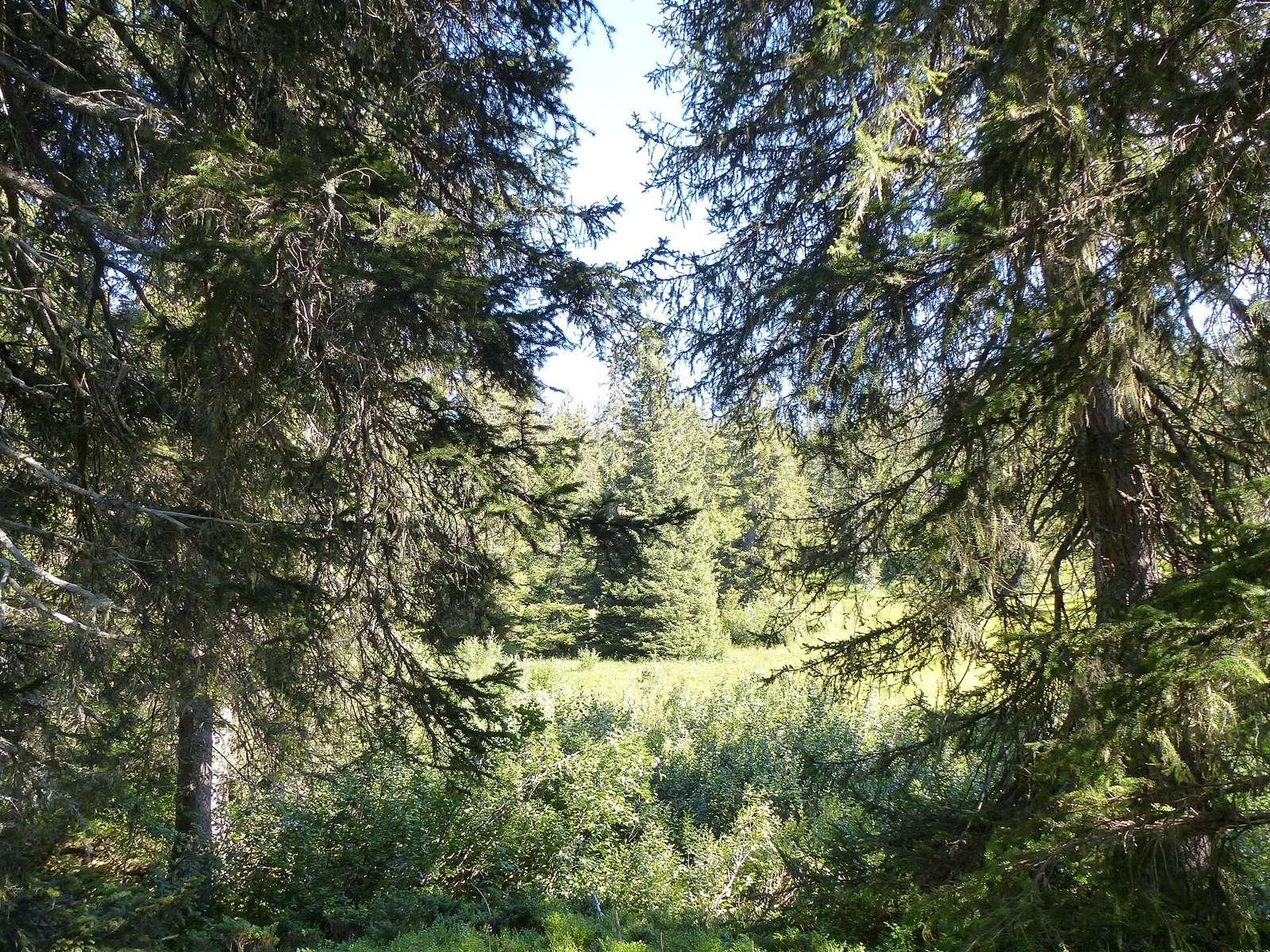
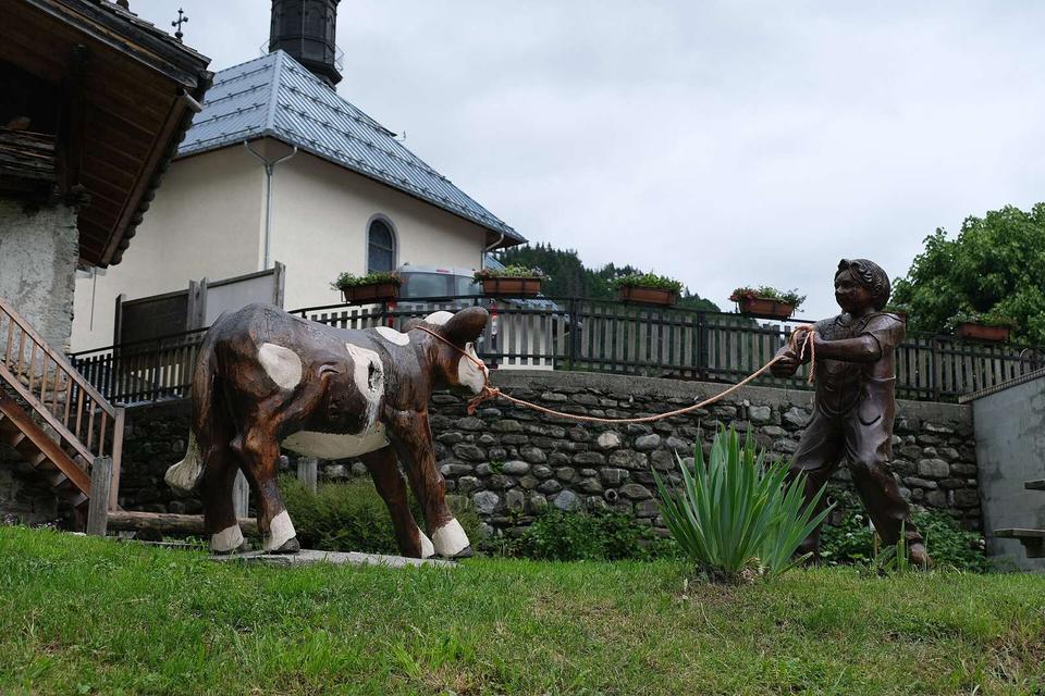
2 photographs from the road

Photo: chisloup · CC BY 3.0 · Wikimedia Commons · Photo: ²°¹°° at French Wikipedia · Public domain · Wikimedia Commons

More rides from Flumet