
Col de Marie-Blanque from Escot
- 9 km
- 696 m
- Easy
- Paved
Elevation profile
- 696 m
- 9 km
Route overview
This route suits riders prepared for a short, steep climb with nearly 700 m of elevation gain over 9 km.
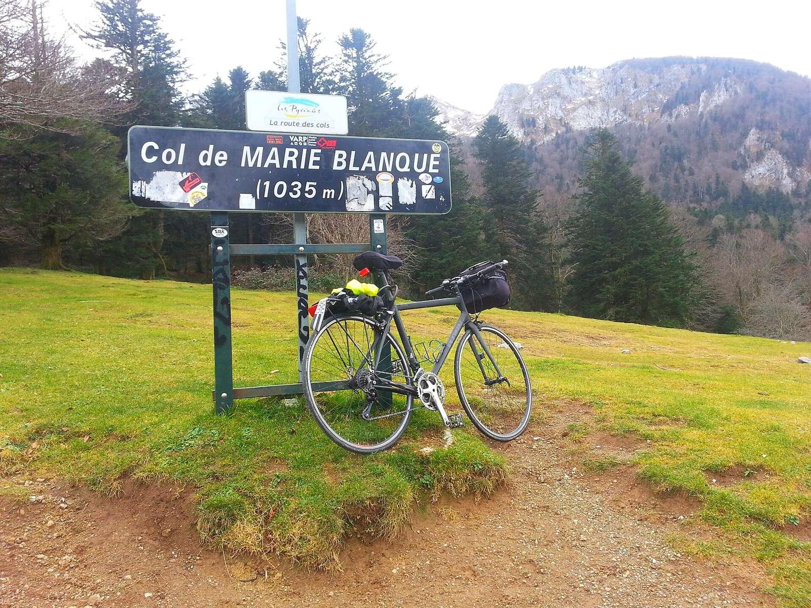
9.2 km climb from Escot to Col de Marie-Blanque in France gaining 696 m.
Starting in Escot at 341 m, the route immediately begins an 8.9 km climb averaging 7.8% gradient to reach the Col de Marie-Blanque at 1037 m. The road is almost entirely minor road and 99% paved, mainly on the D 294 for 9 km. The climb has 6.3 km over 5%, 3.8 km over 8%, and 2.9 km above 10%, with the steepest section (24.1%) near the start. There is one café just off the route in Escot within 100 m where water and toilets are also available. From 0.1 km to 9.2 km, there are no shops, cafés or water, so refuel or stop before starting. The route passes beneath peaks such as Bugala and Toussa de Lacouyèou early on and Mail Casaula later, with Turon de Cuyalade near the top, 333 m off route at 9 km.
Highlights
- Col de Marie-Blanque at 1037 m
- Turon de Cuyalade peak near 9 km
- Steepest 500m at 24.1% near start
- Mail Casaula peak at 1261 m near 5 km
Along the route
On the road
Climbs
| Climb | Starts at | Length | Gain | Average | Max | Top |
|---|---|---|---|---|---|---|
| Turon de Cuyalade | 0.3 km | 8.9 km | 694 m | 7.8 % | 13.7 % | 1037 m |
Turon de Cuyalade · starts at 0.3 km
Practical information
- Paved
- Point to point
- 39 min
- May to Oct — daily highs of 19–25 °C in those months
Know before you go
- No café, shop or water for 9.1 km after Escot
- 9.1 km on minor roads without a cycle lane
- Steepest 500 m at 24.1% gradient at start