
Col Agnel from Château-Ville-Vieille
- 22 km
- 1,344 m
- Moderate
- Paved
Elevation profile
- 1,344 m
- 22 km
Route overview
This ride suits cyclists prepared for a long climb of over 20 km with sustained gradients up to 10%.
A 21.5 km climb from Château-Ville-Vieille over Col Agnel on mostly main roads with up to 10% gradients.
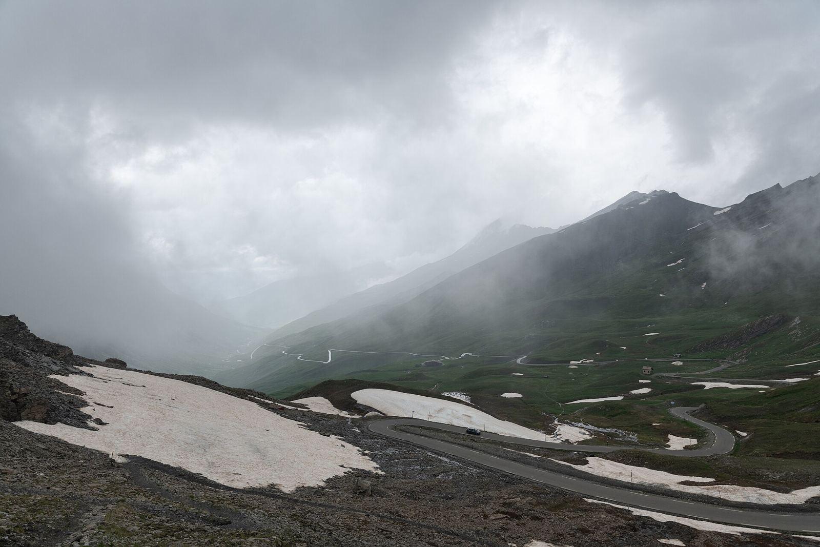
Starting just after 1 km from Château-Ville-Vieille at 1383 m, the route climbs steadily for 20.4 km, gaining 1343 m to the Col Agnel summit at 2727 m near the Dente dell'Agnello. The climb averages 6.6% gradient, with maximum pitches reaching 10%. The lower slopes have about 45% of the total elevation gain in the first half of the climb. The surface is paved for 95% of the distance, predominantly on main roads (94%), including the D 205t, D 5, and D 205 roads for 10.1 km, 5.4 km, and 4.3 km respectively. There is a 5% section on a path surface. The entire route except for the initial kilometre is on main roads without cycle lanes, with 6.4 km designated as roads with speed limits of 80 km/h or above. Facilities near the start include a bakery, bar, convenience store, and petrol station under 1 km from the route. Water and toilets are available at km 1.1 and between km 6 and 12. From km 13.2 to the summit at 21.4 km, there is an 8.2 km stretch without access to cafes, shops, or water. There are also toilets near km 19.7. A notable attraction is La Demoiselle Coiffée de Château-Ville-Vieille at 4.6 km, just off the route.
Highlights
- Col Agnel summit at 2727 m
- Dente dell'Agnello peak nearby
- La Demoiselle Coiffée attraction at 4.6 km
- Average climb gradient 6.6% over 20.4 km
Along the route
Places passed· crosses into Italy
Climbs
| Climb | Starts at | Length | Gain | Average | Max | Top |
|---|---|---|---|---|---|---|
| Dente dell'Agnello | 1 km | 20.4 km | 1343 m | 6.6 % | 10 % | 2727 m |
Dente dell'Agnello · starts at 1 km
What this ride is like
- Roads
- 94% main road · 5% path
- Main roads
- 20.1 km on main roads without a cycle lane — likely busier
- Fast roads
- 6.4 km on roads with a limit of 80 km/h or more
- Main roads used
- D 205t (10 km), D 5 (5 km), D 205 (4 km)
- Surface
- Paved throughout
- Gradient
- 93% climbing · 5% descending · 2% flat
- Steep sections
- 15.6 km over 5% · 5.9 km over 8% · 0.5 km over 10%
Along the way
Food, water and shops
- 0.9 kmPetrol station · on the route
- 1 kmLe Pain des Cimes · bakery · 50 m off route
- 1 kmLe Plantivore · convenience store · 50 m off route
- 1.1 kmDrinking water · on the route
- 1.1 kmToilets · on the route
- 6.5 kmLe pains des cimes · bakery · on the route
- 6.5 kmProxi · convenience store · 50 m off route
- 6.6 kmDrinking water · on the route
- 6.6 kmToilets · on the route
- 10.9 kmDrinking water · on the route
- 11 kmFontaine Gaillarde · restaurant · on the route
- 12.3 kmToilets · on the route
- 19.7 kmToilets · 50 m off route
Worth a stop
- 4.6 km — La Demoiselle Coiffée de Château-Ville-Vieille (attraction)
At the start
- Le Pain des Cimes · bakery · 760 m
- La Cabane à Mitch · fast food · 310 m
- Le Charpenel · bar · 650 m
- Le Plantivore · convenience store · 720 m
Practical information
- Paved
- Point to point
- 1 h 32 min
- Jul to Sep — daily highs of 19–24 °C in those months
Know before you go
- 8.2 km without café, shop or water from km 13.2
- 20.1 km on main roads without cycle lanes
- 6.4 km on roads with 80 km/h speed limits
- 5% gravel or unpaved surface