Cyclists.com

Tignes from Bourg-Saint-Maurice

Bourg-Saint-Maurice, FranceRoad

Routed from the map This classic road was traced on OpenStreetMap and measured against the terrain model; no member has recorded it yet. Ridden it? Add your recording and photos.

30 km
Distance
1,380 m
Elevation gain
Hard
Difficulty
Paved
Surface
Download GPXMap

Elevation profile

Total ascent
1,380 m
Distance
30 km
05001,0001,5002,0002,500m0 km102030 km2,095 m · highest, at 29.9 kmStartFinish

Route overview

Suitable for experienced riders prepared for a long climb with 1380 m of elevation gain over 30 km.

A 29.9 km point-to-point climb from Bourg-Saint-Maurice to Tignes in France with 1380 m elevation gain.

This route starts near Bourg-Saint-Maurice at 809 m and climbs to 2094 m over 29.9 km, primarily following paved surfaces with 97% paved and 3% gravel or unpaved. The ride includes two main climbs: the first from 3.7 km to 9.8 km, gaining 243 m at an average of 4%, with a maximum gradient of 8.6%. The second climb starts at 11.1 km and lasts 18.5 km, gaining 1067 m at an average of 5.8%, reaching a maximum gradient of 12.2%.

Highlights

  • Climb to 2094 m elevation
  • First climb 6.1 km at 4% avg
  • Longest climb 18.5 km at 5.8% avg
  • Route starts and finishes in Bourg-Saint-Maurice and Tignes

Along the route

Measured from the recorded track and OpenStreetMap.

Places passed

  1. Séez 2.4 km
  2. Le Besset 3.6 km
  3. Longefoy 5.1 km
  4. Le Loissel 6.9 km
  5. Montvalezan 7 km
  6. Planchamp 7.4 km
  7. La Bonneville 7.8 km
  8. Pré Derrière 8.9 km
  9. Le Châtelet 9.1 km
  10. Le Pré 9.4 km
  11. Le Pertuis 9.5 km
  12. L'Épine 9.7 km
  13. Villaroger 9.9 km
  14. La Roche 10.6 km
  15. Le Villaron 11.2 km
  16. Sainte-Foy-Tarentaise 12.2 km
  17. Le Baptieu 12.4 km
  18. Chavarnier 12.7 km
  19. Raffort 13 km
  20. Maisons Dessous 13.3 km
  21. La Thuile 14.6 km
  22. les Maisonnettes 22.4 km
  23. Tignes les Brevières 22.8 km
  24. le Villaret des Brévières 22.8 km
  25. le Chevril 24.4 km
  26. les Boisses 25.3 km
  27. Tignes 1800 25.3 km
  28. les Combes 27.8 km

Climbs

ClimbStarts atLengthGainAverageMaxTop
Le Besset climb3.7 km6.1 km243 m4 %8.6 %1097 m
Le Villaron climb11.1 km18.5 km1067 m5.8 %12.2 %2094 m

High point 2094 m at 29.6 km; low point 809 m.

Le Besset climb · starts at 3.7 km

6.1 km at 4% · 243 m
9009501,0001,050m5.9%5.7%3.8%1.4%0 km123456.0 km1,097 msteepest 6.1%
< 4%4 – 7%7 – 10%> 10%

Le Villaron climb · starts at 11.1 km

18.5 km at 5.8% · 1067 m
1,2001,4001,6001,8002,000m2.2%6.3%6.4%3.6%4.5%5.7%6.1%3.1%6.8%7.0%7.3%2.3%6.8%5.3%7.4%8.1%0 km123456789101112131415161718.5 km2,094 msteepest 10.9%

What this ride is like

Measured from OpenStreetMap along the track and the elevation profile.

Roads
56% main road · 28% minor road · 13% path · 2% quiet street
Main roads
16.5 km on main roads without a cycle lane — likely busier
Fast roads
9.6 km on roads with a limit of 80 km/h or more
Main roads used
D 902 (10 km), D 84b (7 km), D 87A (4 km)
Surface
Paved throughout
Gradient
77% climbing · 8% descending · 15% flat
Steep sections
14.2 km over 5% · 4.2 km over 8% · 1 km over 10%

Along the way

Within a few hundred metres of the track, from OpenStreetMap. Opening hours change — treat this as where to look, not a promise.

Food, water and shops

  1. 0 kmDrinking water · on the route
  2. 0 kmAllez! Café Vélo · bike shop · 120 m off route
  3. 0 kmPharmacie du Haut Bourg · pharmacy · 30 m off route
  4. 0.4 kmPAUSE Coffee & Kürtös · café · on the route
  5. 1 kmIntermarché · supermarket · 60 m off route
  6. 1.1 kmToilets · 70 m off route
  7. 4.9 kmRestaurant · 40 m off route
  8. 8.9 kmLa Ferme · restaurant · 190 m off route
  9. 9.8 kmDrinking water · on the route
  10. 9.9 kmToilets · on the route
  11. 9.9 kmRepair stand · 30 m off route
  12. 14.8 kmDrinking water · on the route
  13. 25.3 km01800 Brasserie du Mont Blanc MGM Constructeur · restaurant · 110 m off route
  14. 29.4 kmToilets · 50 m off route
  15. 29.6 kmThe Break · fast food · on the route
  16. 29.6 kmSherpa · supermarket · 30 m off route
  17. 29.6 kmDrinking water · 110 m off route
  18. 29.6 kmEvolution 2 · bike rental · 40 m off route

Need to bail out?

  • 0.2 kmBourg-Saint-Maurice (station), 110 m off route

Whether bikes are carried depends on the service — check before relying on it.

Worth a stop

  • 5 kmParcours aventure / Accrobranche (attraction)

At the start

  • 3G · bakery · 50 m
  • Aux Délices de Tarentaise · bakery · 20 m
  • Café Fiore · café · 40 m
  • Café de la Gare · café · 100 m
  • Bourg-Saint-Maurice · station · 170 m

At the finish

  • Sherpa · supermarket · 30 m
  • Pharmacie du Lac · pharmacy · 60 m
  • The Break · fast food · 60 m
  • La Croisse · fast food · 50 m
  • Restaurant de la Caleche · restaurant · 40 m

Stay after this ride

  • Maeva · hotel · 70 m from the finish
  • Langley Hotel Tignes 2100 · hotel · 90 m from the finish
  • Le Refuge · hotel · 220 m from the finish
  • L'Arbina · hotel · 220 m from the finish
  • Le Levanna · hotel · 210 m from the finish

Practical information

Surface
Paved
Route shape
Point to point
Riding time
2 h 08 min
Best months
May to Oct — daily highs of 17–25 °C in those months

Know before you go

  • 16.5 km on main roads without cycle lanes
  • 9.6 km on roads with 80 km/h or more speed limit
  • 7.9 km longest stretch with no café, shop or water from km 14.8 to 22.7
  • 4.2 km climbing over 8% gradient

Routes are for inspiration. Roads, surfaces and conditions change — check locally and ride within your limits.

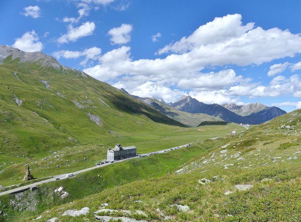
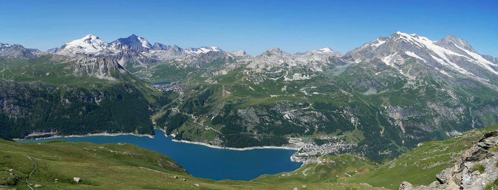
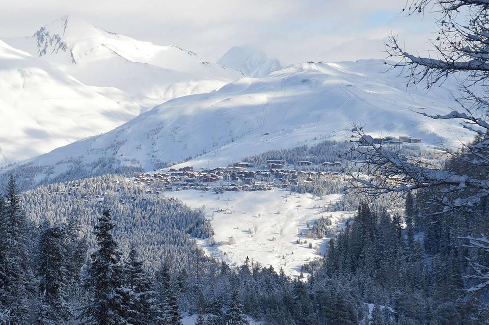
2 photographs from the road

Photo: Tiia Monto · CC BY-SA 4.0 · Wikimedia Commons · Photo: Rémih · CC BY-SA 4.0 · Wikimedia Commons · Photo: Florentc59 · CC0 · Wikimedia Commons

More rides from Bourg-Saint-Maurice