Cyclists.com

Port de Pailhères from Ax-les-Thermes

Ax-les-Thermes, FranceRoad

Routed from the map This classic road was traced on OpenStreetMap and measured against the terrain model; no member has recorded it yet. Ridden it? Add your recording and photos.

19 km
Distance
1,275 m
Elevation gain
Moderate
Difficulty
Paved
Surface
Download GPXMap

Elevation profile

Total ascent
1,275 m
Distance
19 km
05001,0001,5002,0002,500m0 km5101519 km1,995 m · highest, at 19.3 kmStartFinish

Route overview

Suited to riders prepared for a sustained 19 km climb with 1275 m of elevation gain.

A 19.3 km paved climb from Ax-les-Thermes to Port de Pailhères in France with 1275 m elevation gain.

This 19.3 km point-to-point route begins at Ax-les-Thermes (720 m) and ascends continuously to Port de Pailhères (1995 m). The climb is composed of two main sections: the first 7.1 km gains 372 m at an average gradient of 5.2%, with a maximum of 8.2%. After a short break, the route continues for 12 km climbing 900 m at an average of 7.5% with sections reaching 10.3%, making the latter half significantly steeper. The entire route is paved and mainly follows main roads (97%), specifically the D 25 for 15.3 km and the D 613 for 3.3 km. There are no cycle lanes and the route is mostly uphill (96%), with over 14.6 km exceeding 5% gradient, so this is a sustained and challenging climb. The longest stretch without cafés, shops, or water is between 7.4 km and 13.9 km (6.5 km). At the start, Ax-les-Thermes offers multiple services including a bakery, café, restaurant, convenience store, bar, and water sources. Mid-route at 7.4 km a bakery is accessible 18 m off route. Toilets are available at the start and near 13.8 km. A bailout point is near the start at a station 554 m off route.

Highlights

  • Port de Pailhères at 1995 m
  • Pic de Fontargent peak near 19.1 km
  • Bakery at 7.4 km off-route
  • Ax-les-Thermes services at start

Along the route

Measured from the recorded track and OpenStreetMap.

Places passed

  1. Ignaux 2.4 km
  2. Sorgeat 3.6 km
  3. Ascou 4.6 km
  4. Fournit 4.7 km
  5. Goulours 7 km
  6. Lavail 7.9 km
  7. Le Pujal 8.2 km

Climbs

ClimbStarts atLengthGainAverageMaxTop
Ax-les-Thermes climb0 km7.1 km372 m5.2 %8.2 %1093 m
Goulours climb7.3 km12 km900 m7.5 %10.3 %1995 m

High point 1995 m at 19.2 km; low point 720 m. Passes beneath Castel Maou, Rocher de la Casale ou de la Vierge, Roc du Barri.

Ax-les-Thermes climb · starts at 0 km

7.1 km at 5.2% · 372 m
7508008509009501,0001,050m6.4%7.4%5.3%5.1%2.8%0 km1234567.1 km1,093 msteepest 7.4%
< 4%4 – 7%7 – 10%> 10%

Goulours climb · starts at 7.3 km

12 km at 7.5% · 900 m
1,1001,2001,3001,4001,5001,6001,7001,8001,900m6.6%5.0%5.4%8.9%8.8%8.6%9.6%9.1%8.6%0 km123456789101111.9 km1,995 msteepest 9.6%

What this ride is like

Measured from OpenStreetMap along the track and the elevation profile.

Roads
97% main road
Main roads
18.6 km on main roads without a cycle lane — likely busier
Main roads used
D 25 (15 km), D 613 (3 km)
Surface
Paved throughout
Gradient
96% climbing · 1% descending · 4% flat
Steep sections
14.6 km over 5% · 7.3 km over 8% · 0.6 km over 10%

Along the way

Within a few hundred metres of the track, from OpenStreetMap. Opening hours change — treat this as where to look, not a promise.

Food, water and shops

  1. 0 kmSaveurs D'Ariège · bakery · on the route
  2. 0 kmProxi · convenience store · on the route
  3. 0 kmPharmacie Aybram · pharmacy · 90 m off route
  4. 0.1 kmToilets · 50 m off route
  5. 0.2 kmLa Fontaine des Neiges · spring · on the route
  6. 4.5 kmLa fount de l'église · drinking water · 70 m off route
  7. 7.4 kmLe fournil de la forge · bakery · on the route
  8. 13.8 kmToilets · on the route
  9. 13.9 kmRestaurant · 30 m off route

Need to bail out?

  • 1.3 kmAx-les-Thermes (station), 550 m off route

Whether bikes are carried depends on the service — check before relying on it.

Worth a stop

  • 0.5 kmTurbine centrale du Teich (viewpoint)
  • 6.6 km3 Picnic Tables (picnic site)
  • 19.1 kmPic de Fontargent (peak)

At the start

  • Saveurs D'Ariège · bakery · 50 m
  • Sur le Pouce · café · 100 m
  • Le P'tit Montagnard · restaurant · 60 m
  • Proxi · convenience store · 60 m
  • Le Comptoir des Négociants · bar · 60 m

Stay after this ride

  • Centre de Vacance Le Saint-Bernard · hostel · 3.1 km from the finish

Practical information

Surface
Paved
Route shape
Point to point
Riding time
1 h 23 min
Best months
May to Oct — daily highs of 18–25 °C in those months

Know before you go

  • 18.6 km on main roads without cycle lanes
  • 6.5 km without café, shop or water from 7.4 to 13.9 km
  • Steep gradients with 7.3 km over 8%
  • Steepest section max gradient 10.3%

Routes are for inspiration. Roads, surfaces and conditions change — check locally and ride within your limits.

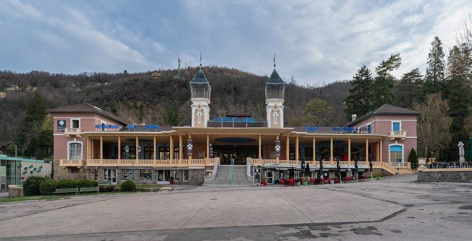
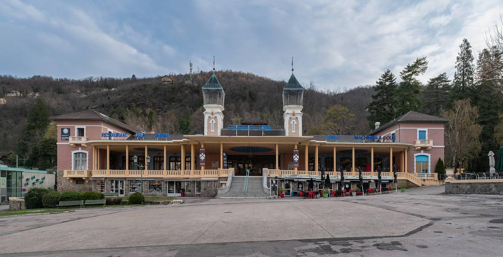
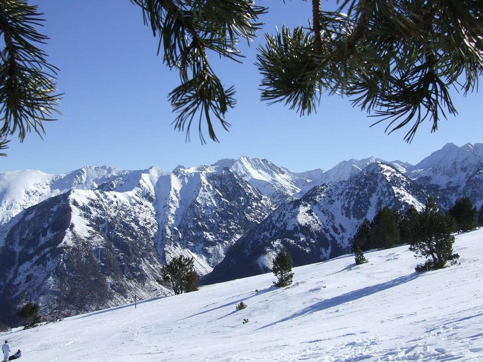
2 photographs from the road

Photo: Krzysztof Golik · CC BY-SA 4.0 · Wikimedia Commons · Photo: Gilles Guillamot · CC BY-SA 3.0 · Wikimedia Commons · Photo: Javier B · CC BY 3.0 · Wikimedia Commons

More rides from Ax-les-Thermes