
Col de la Pierre St Martin from Arette
- 25 km
- 1,434 m
- Hard
- Paved
Elevation profile
- 1,434 m
- 25 km
Route overview
Riders capable of sustained climbing over 1400 m in 25 km on paved roads.
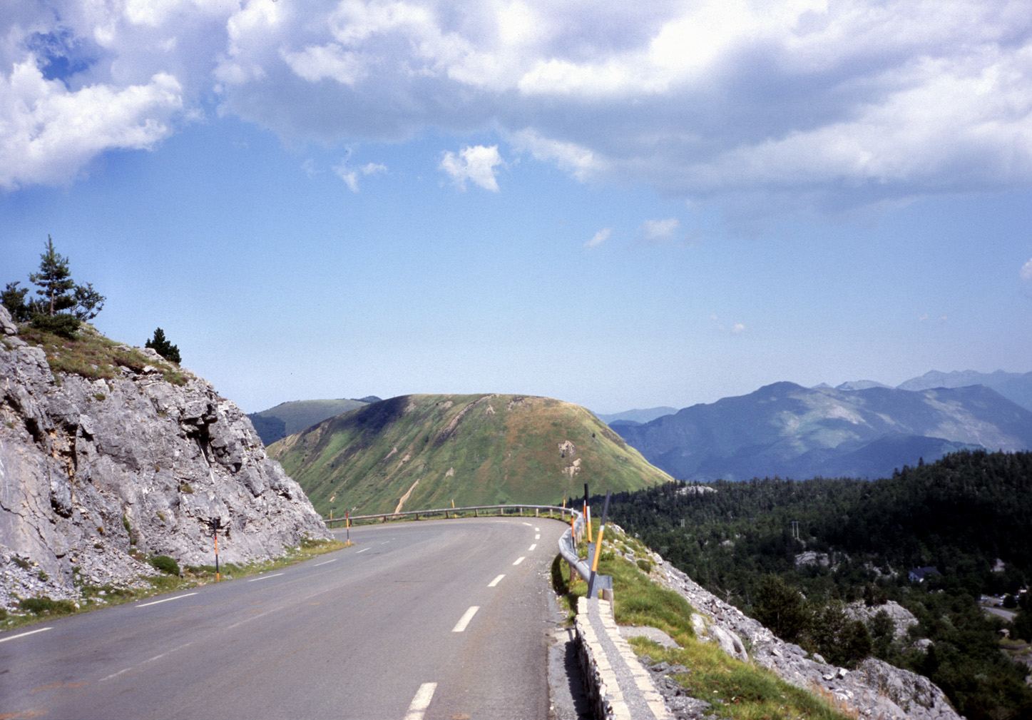
A 25 km climb from Arette to Col de la Pierre St Martin in France with 1434 m elevation gain.
Starting from Arette at 326 m, the route follows the D 132 main road almost entirely for 25 km. The climb begins gently with two short sections of 1.7 km and 2.2 km gaining 44 m and 51 m at average gradients of about 2.5%. After 6.5 km, the main ascent stretches 18.7 km, climbing 1315 m at an average gradient of 7%, with steep sections up to 11.3% and a maximum recorded gradient of 22.8% over 500 m near the start. The route is 99% paved and mainly on main roads without cycle lanes. There is a single very short stretch of gravel. Facilities such as a bakery, convenience store, water point, toilets, and a bike shop are all located near the start in Arette. Beyond 0.2 km, there are no cafés, shops, or water points for the rest of the route. Notable nearby points include the château at the start and the Soum de Soudet peak close to 21.5 km.
Highlights
- Col de la Pierre St Martin at 1760 m
- Steep section with 22.8% gradient near start
- Soum de Soudet peak near 21.5 km
- Château le Blant near start
Along the route
Places passed
On the road
Climbs
| Climb | Starts at | Length | Gain | Average | Max | Top |
|---|---|---|---|---|---|---|
| — | 1.9 km | 1.7 km | 44 m | 2.6 % | 3.6 % | 394 m |
| — | 4.1 km | 2.2 km | 51 m | 2.3 % | 3.6 % | 445 m |
| Pierre St Martin | 6.5 km | 18.7 km | 1315 m | 7 % | 11.3 % | 1760 m |
Pierre St Martin · starts at 6.5 km
Practical information
- Paved
- Point to point
- 1 h 48 min
- May to Oct — daily highs of 19–25 °C in those months
Know before you go
- 25 km without café, shop or water after 0.2 km
- 24.7 km on main roads without cycle lane
- Steepest 500 m at 22.8% gradient near start
- 7.6 km over 8% gradient, 2.7 km over 10%