
La Hourquette d'Ancizan from Ancizan
- 10 km
- 771 m
- Moderate
- Paved
Elevation profile
- 771 m
- 10 km
Route overview
This ride suits cyclists looking for a short but sustained climb with significant elevation gain.
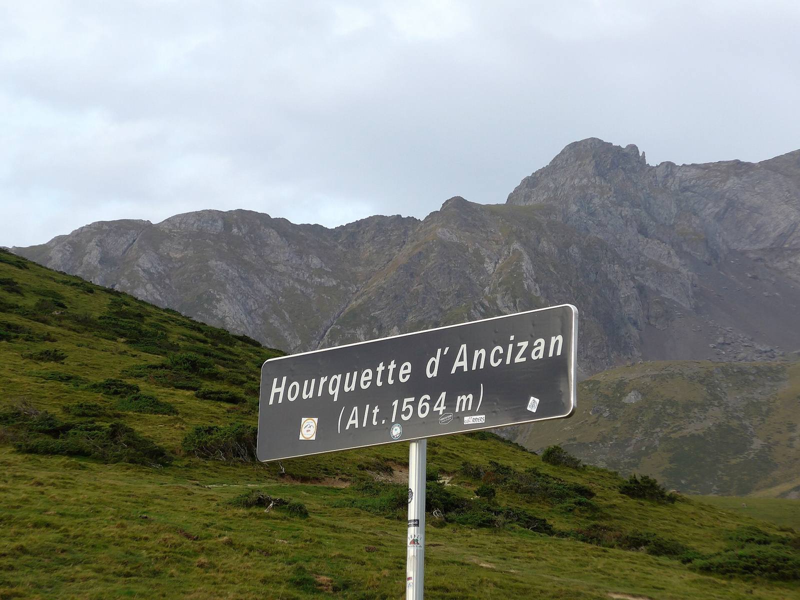
A 10.3 km climb from Ancizan to La Hourquette d'Ancizan in France with 771 m elevation gain.
The route starts in Ancizan at 788 m and ascends steadily for 10.1 km to reach La Hourquette d'Ancizan at 1559 m. The climb gains 771 m height with an average gradient of 7.6% and a maximum gradient of 11.1% over 1.1 km. Almost the entire climb (99%) is uphill, with 9.3 km steeper than 5% and 4.3 km above 8%. The road surface is fully paved, mainly minor roads (96%) with 0.5 km on a quiet street. The D 113 road is ridden for 9.2 km of the climb. The start offers opportunities to buy provisions at a bakery and a convenience store just off route around km 0, with drinking water available at 0.3 km and a spring near the top at 10.3 km. A bike repair stand lies close to the route at 1.2 km. There is a 10 km stretch without cafes, shops, or water from 0.3 to 10.3 km, so prepare accordingly.
Highlights
- Climb starting at 788 m in Ancizan
- Ascends to 1559 m at La Hourquette d'Ancizan
- Average gradient 7.6%, max 11.1%
- Primarily on minor roads and D 113
Along the route
On the road
Climbs
| Climb | Starts at | Length | Gain | Average | Max | Top |
|---|---|---|---|---|---|---|
| La Hourquette | 0 km | 10.1 km | 771 m | 7.6 % | 11.1 % | 1559 m |
La Hourquette · starts at 0 km
Practical information
- Paved
- Point to point
- 44 min
- May to Oct — daily highs of 17–24 °C in those months
Know before you go
- 10 km without café, shop or water after 0.3 km