
La Plagne from Aime
- 21 km
- 1,318 m
- Moderate
- Paved
Elevation profile
- 1,318 m
- 21 km
Route overview
This ride suits cyclists looking for a demanding short climb with over 1300 m gain.
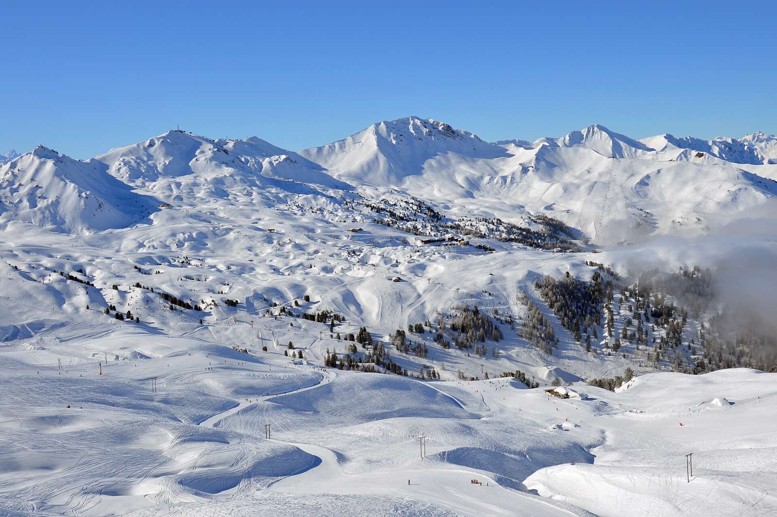
20.7 km climb from Aime to La Plagne, France, gaining 1318 m.
Starting from Aime at 669 m, the route begins with a 3.6 km descent before a sustained climb of 16.5 km gaining 1317 m to reach La Plagne at 1987 m. The climb averages 8% with maximum gradients of 13.5%. The longest descent of 3.4 km happens just after the initial start. The surface is mainly paved (95%), with some gravel and unpaved sections making up 4%. The route runs predominantly on main roads (11.4 km) of which 10.6 km are on the D 221. The main roads have no cycle lanes and include 11 km with speed limits of 80 km/h or more. Minor roads, quiet streets, paths and tracks complete the route. Facilities include a bakery and supermarket near the start around 2.6 km, and a restaurant near 13.8 km with toilets nearby. There is a 7.4 km stretch without café, shop or water between 2.9 km and 10.3 km. A bike shop is located near 1.8 km and there is a bailout station 2.4 km from the start. Several amenities are available at the finish in La Plagne.
Highlights
- Sustained 16.5 km climb averaging 8%
- Summit at 1987 m elevation
- Long 3.4 km descent near start
- Main roads mainly on D 221 for 10.6 km
Along the route
Places passed
On the road
Climbs
| Climb | Starts at | Length | Gain | Average | Max | Top |
|---|---|---|---|---|---|---|
| Aime climb | 3.6 km | 16.5 km | 1317 m | 8 % | 13.5 % | 1987 m |
Aime climb · starts at 3.6 km
Practical information
- Paved
- Point to point
- 1 h 29 min
- Jun to Oct — daily highs of 16–24 °C in those months
Know before you go
- 7.4 km without café, shop or water from km 2.9 to 10.3
- 11.4 km on main roads without cycle lane
- 11 km on roads with 80 km/h or higher speed limits
- 2.4 km sections over 10% gradient