
Cycling in Saint-Béat
Saint-Béat offers a steep 11.4 km climb to Col de Menté with an average gradient of 8.7%, mostly on paved roads without cycle lanes.
- 11 km
- 848 m
- 1,350 m
The ride from Saint-Béat
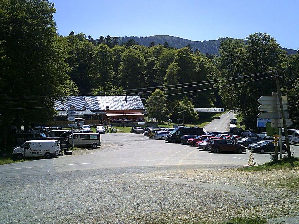
Col de Menté from Saint-Béat
11.4 km climb to Col de Menté from Saint-Béat in France, gaining 848 m.
Map, profile and GPXRiding in Saint-Béat in numbers
- High point
- 1,350 m on Col de Menté from Saint-Béat
- Climbs
- 1 named climb · 1 ascent of 500 m or more
When to ride in Saint-Béat
Best months: May to Oct.
8°-1°J13
10°0°F13
12°2°M17
14°5°A15
17°8°M18
21°12°J18
23°14°J17
24°14°A14
20°11°S14
18°8°O12
12°3°N15
11°1°D12
BestFineHard goingRain days per month under each bar · typical wind 11 km/h from the S
Nearby destinations
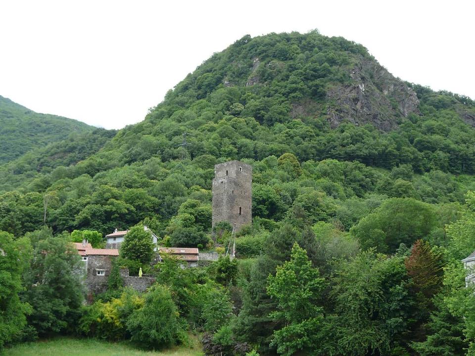 Photo: Père Igor · CC BY-SA 3.0 · Wikimedia Commons
Fronsac
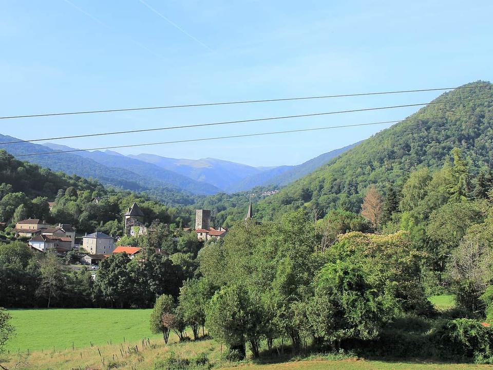 Photo: Sotos · CC BY-SA 4.0 · Wikimedia Commons
Mauléon-Barousse
 Photo: Jean-Pierre Bazard · CC BY-SA 3.0 · Wikimedia Commons
Bagnères-de-Luchon
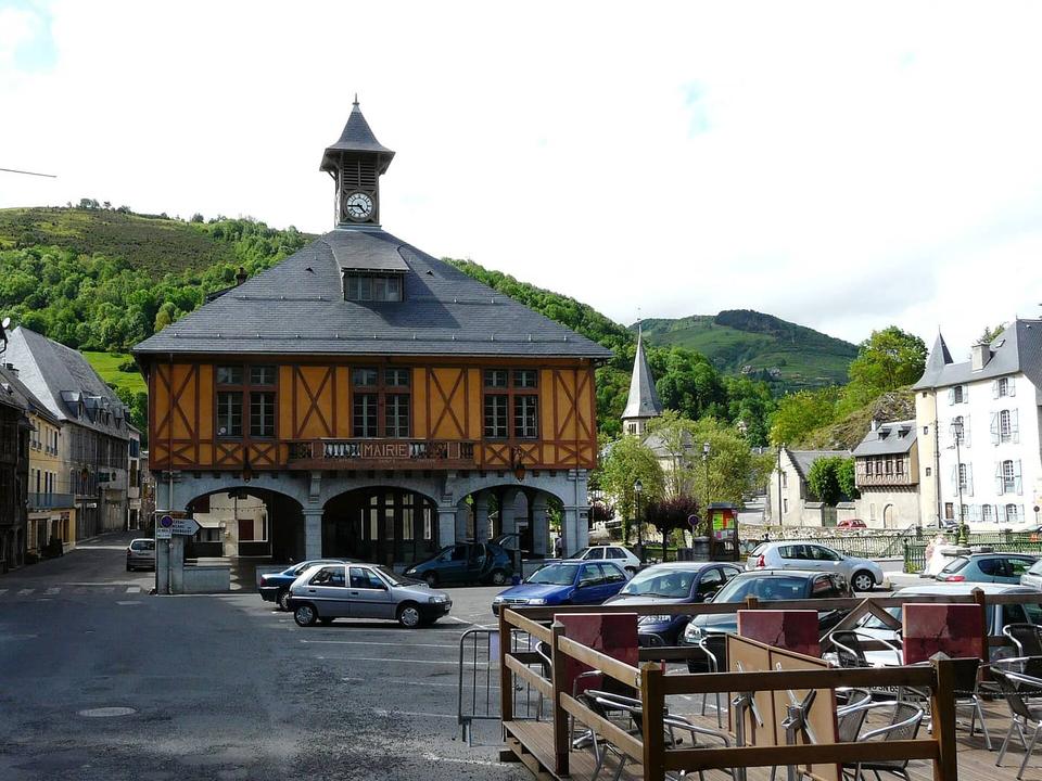 Photo: Père Igor · CC BY-SA 3.0 · Wikimedia Commons
Arreau
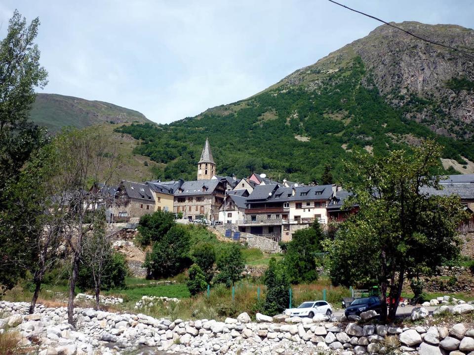 Photo: Isidre blanc · CC BY-SA 4.0 · Wikimedia Commons
Salardú
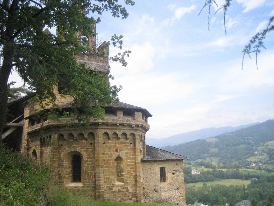 Photo: Byron Lee · CC BY-SA 4.0 · Wikimedia Commons
Castillon-en-Couserans
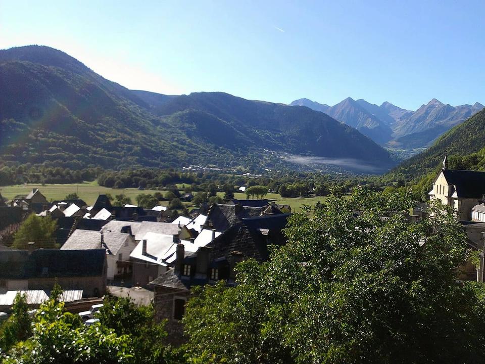 Photo: ドルリ · CC BY-SA 3.0 · Wikimedia Commons
Ancizan
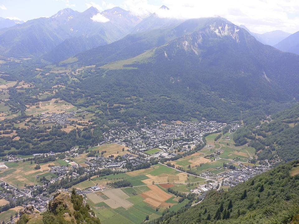 Photo: Lanzonnet · Public domain · Wikimedia Commons
Saint-Lary-Soulan
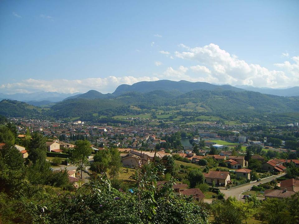 Photo: Olybrius · CC BY-SA 3.0 · Wikimedia Commons
Saint-Girons
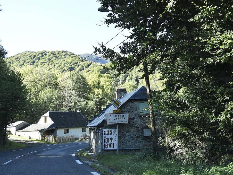 Photo: Paul Hermans · CC BY-SA 4.0 · Wikimedia Commons
Sainte-Marie-de-Campan