
Cycling in Llanfoist
Cycling from Llanfoist features an 8.2 km route with a 419 m climb, largely paved but with some gravel, passing Govilon and near Abergavenny.
- 8 km
- 419 m
- 482 m
The ride from Llanfoist
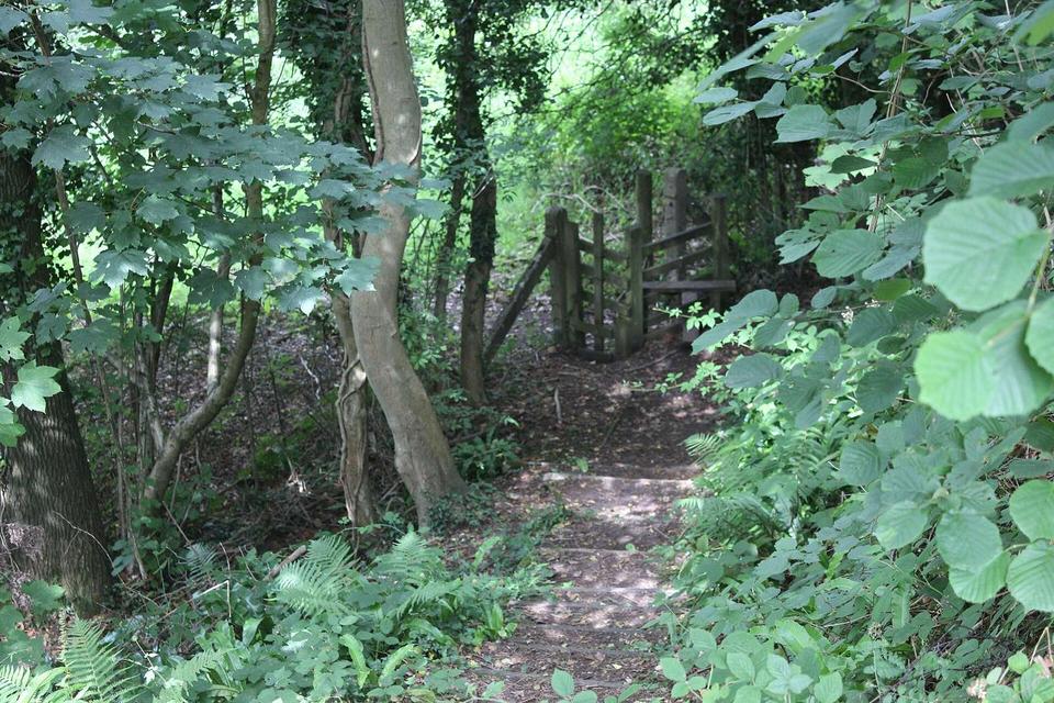
Blorenge from Llanfoist
An 8.2 km climb from Llanfoist to near The Blorenge, gaining 419 m.
Map, profile and GPXRiding in Llanfoist in numbers
- High point
- 482 m on Blorenge from Llanfoist
- Climbs
- 1 named climb
When to ride in Llanfoist
Best months: Jun to Sep.
8°2°J13
9°3°F12
10°4°M15
13°5°A10
16°8°M12
19°11°J11
21°13°J12
20°13°A12
18°11°S12
14°9°O13
11°5°N13
9°4°D15
BestFineHard goingRain days per month under each bar · typical wind 21 km/h from the SW