
Cycling in Lavelanet
Cycling from Lavelanet includes a 10.9 km route featuring the Col de Montségur climb with an average gradient of 6.2%.
- 11 km
- 526 m
- 1,050 m
The ride from Lavelanet
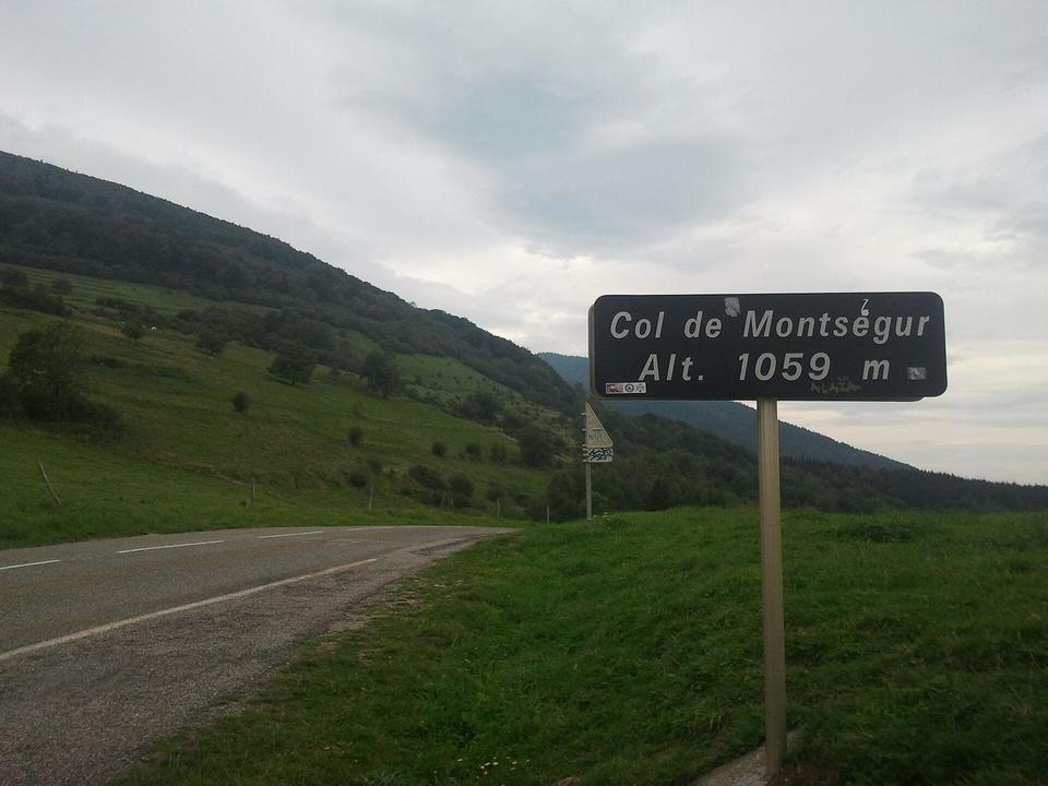
Col de Montségur from Lavelanet
10.9 km climb from Lavelanet to Col de Montségur with 526 m ascent on mainly paved roads.
Map, profile and GPXRiding in Lavelanet in numbers
- High point
- 1,050 m on Col de Montségur from Lavelanet
- Climbs
- 1 named climb
When to ride in Lavelanet
Best months: Jul to Oct.
8°2°J14
10°3°F12
13°5°M15
15°7°A13
18°10°M17
23°14°J14
26°17°J11
26°17°A10
22°14°S11
18°11°O10
13°6°N14
11°4°D12
BestFineHard goingRain days per month under each bar · typical wind 17 km/h from the W
Nearby destinations
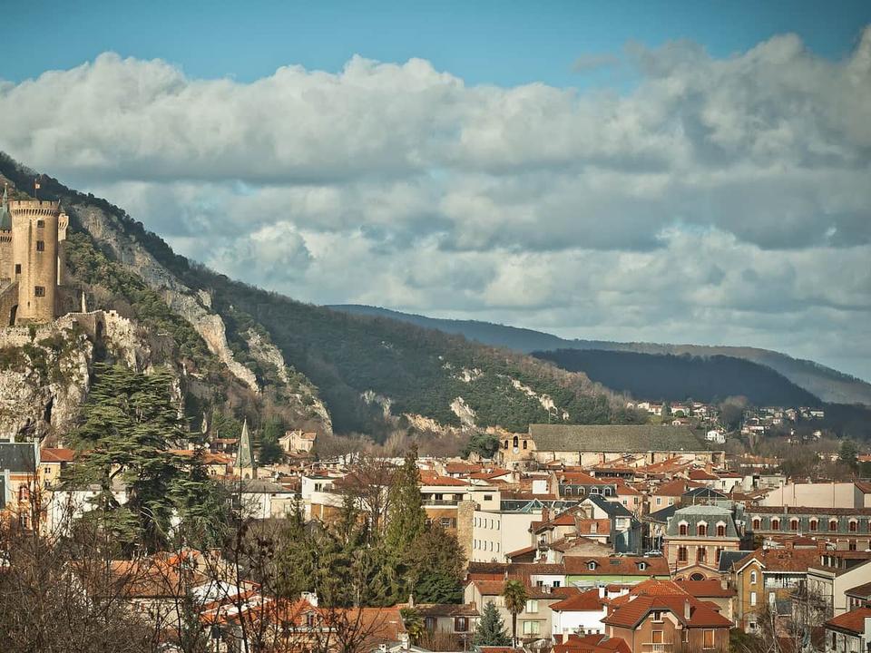 Photo: BastienM · CC BY-SA 3.0 · Wikimedia Commons
Foix
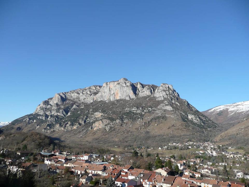 Photo: Pey09 · Public domain · Wikimedia Commons
Les Cabannes
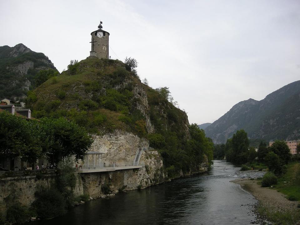 Photo: Ji-Elle · Public domain · Wikimedia Commons
Tarascon-sur-Ariège
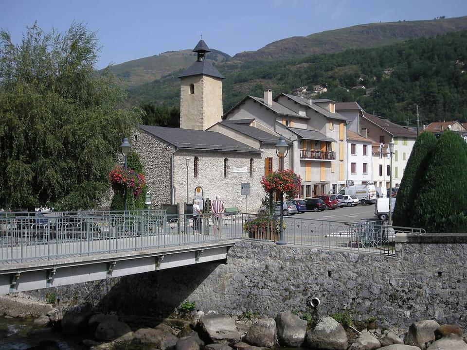 Photo: Ji-Elle · Public domain · Wikimedia Commons
Ax-les-Thermes
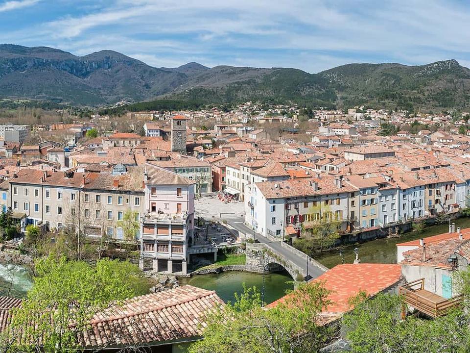 Photo: Krzysztof Golik · CC BY-SA 4.0 · Wikimedia Commons
Quillan
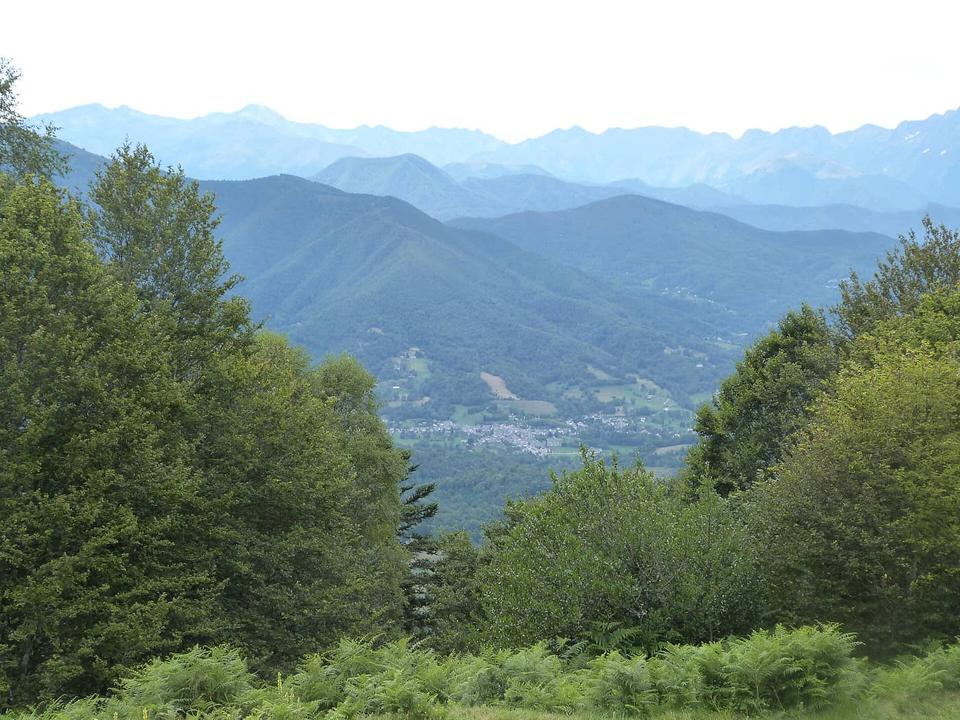 Photo: Daieuxetdailleurs · CC BY-SA 4.0 · Wikimedia Commons
Massat
 Photo: Krzysztof Golik · CC BY-SA 4.0 · Wikimedia Commons
Canillo
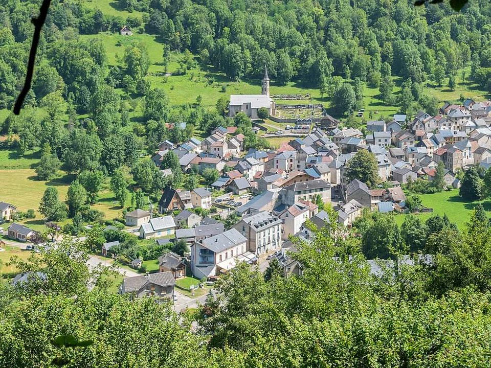 Photo: Tournasol7 · CC BY 4.0 · Wikimedia Commons
Aulus-les-Bains
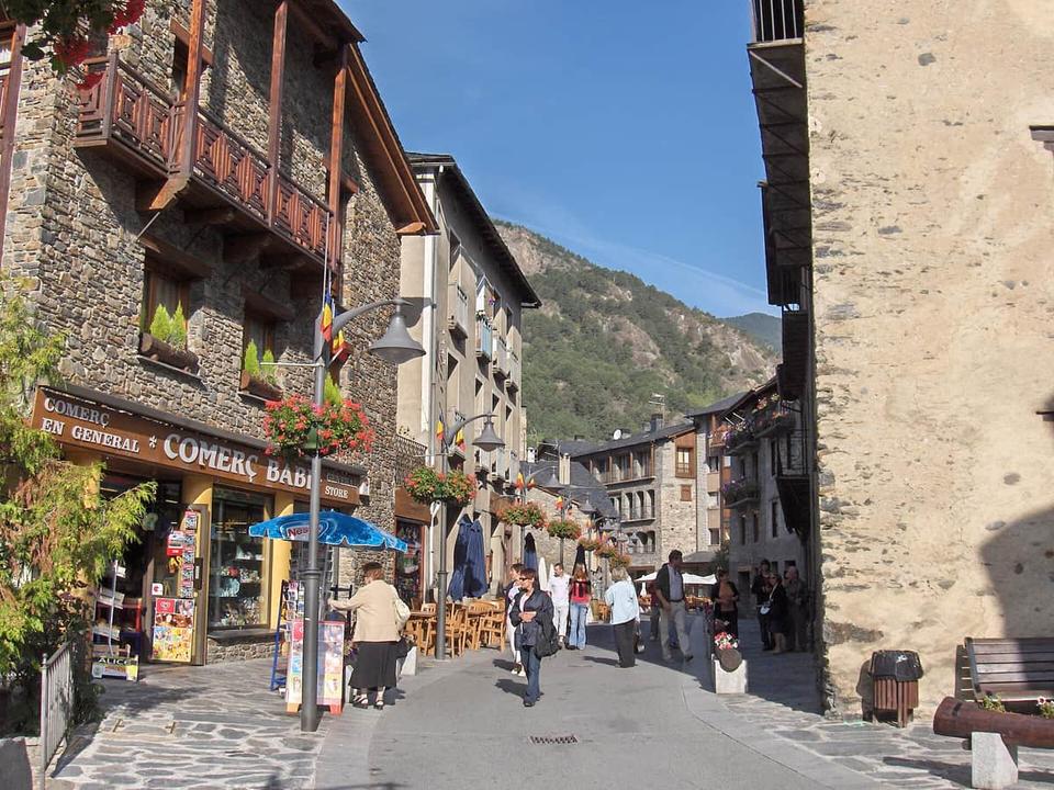 Photo: Matthew Ross · Public domain · Wikimedia Commons
Ordino
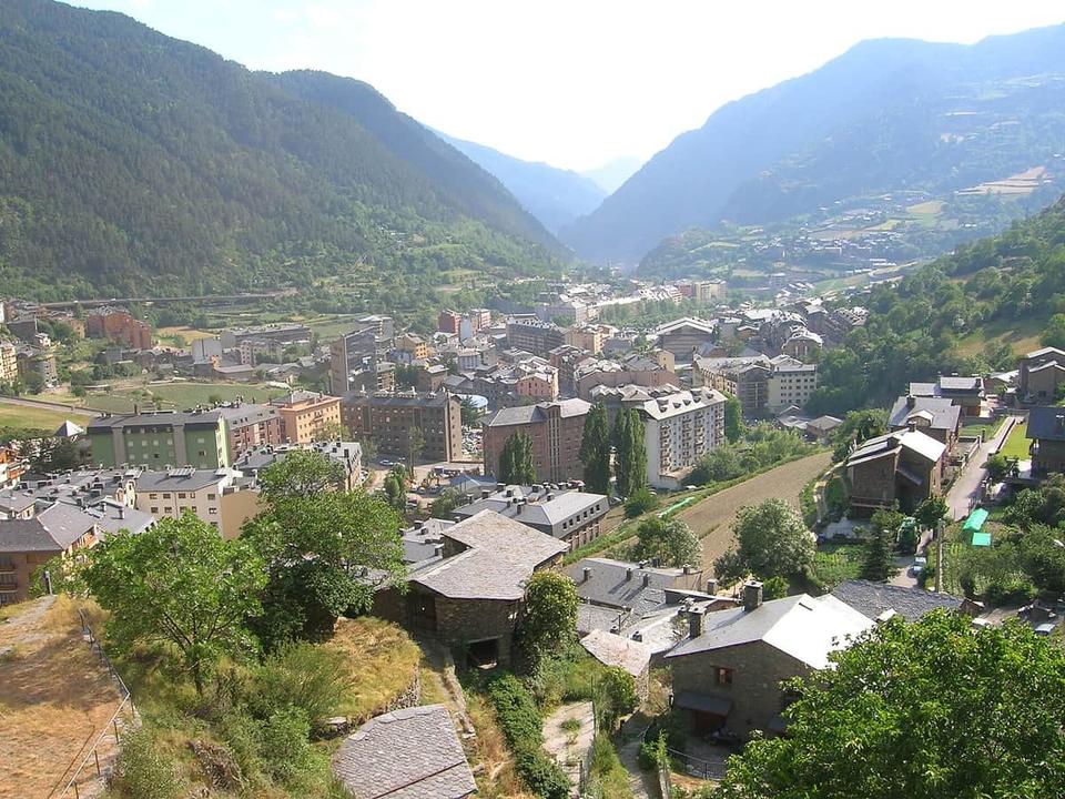 Photo: Joanjoc · Public domain · Wikimedia Commons
Encamp