
Cycling in Chapareillan
Cycling from Chapareillan offers a challenging 10.3 km ascent to Col du Granier with steep gradients.
- 10 km
- 847 m
- 1,132 m
The ride from Chapareillan
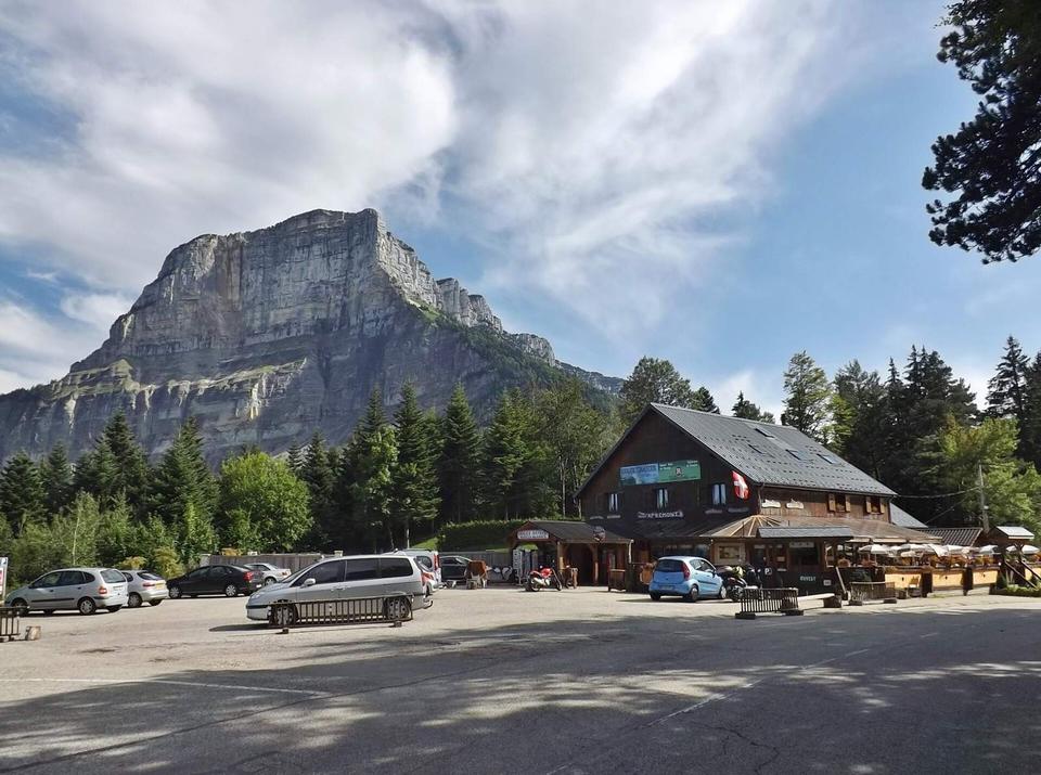
Col du Granier from Chapareillan
10.3 km climb from Chapareillan to Col du Granier in France with 847 m of elevation gain.
Map, profile and GPXRiding in Chapareillan in numbers
- Surface
- Paved almost throughout
- Roads
- 100% of the riding on main roads without a cycle lane
- High point
- 1,132 m on Col du Granier from Chapareillan
- Climbs
- 1 named climb · 1 ascent of 500 m or more
When to ride in Chapareillan
Best months: May to Oct.
7°0°J14
11°2°F12
13°4°M14
17°7°A13
20°11°M17
25°15°J16
28°17°J11
27°17°A10
23°13°S11
19°9°O12
12°4°N13
9°1°D13
BestFineHard goingRain days per month under each bar · typical wind 8 km/h from the W
Nearby destinations
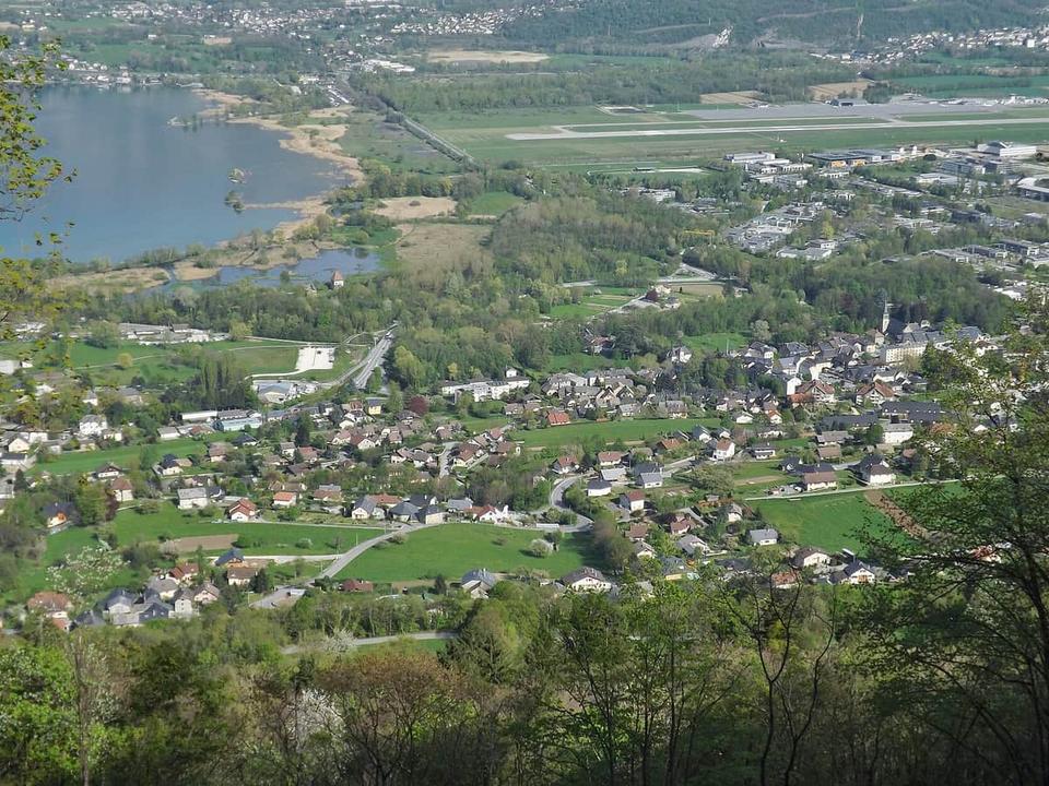 Photo: Florian Pépellin · CC BY-SA 3.0 · Wikimedia Commons
Le Bourget-du-Lac
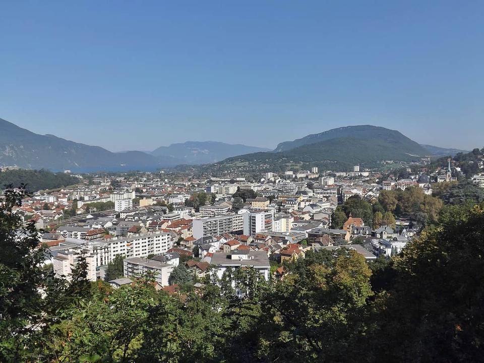 Photo: Florian Pépellin · CC BY-SA 3.0 · Wikimedia Commons
Aix-les-Bains
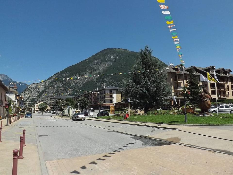 Photo: Florian Pépellin · CC BY-SA 3.0 · Wikimedia Commons
La Chambre
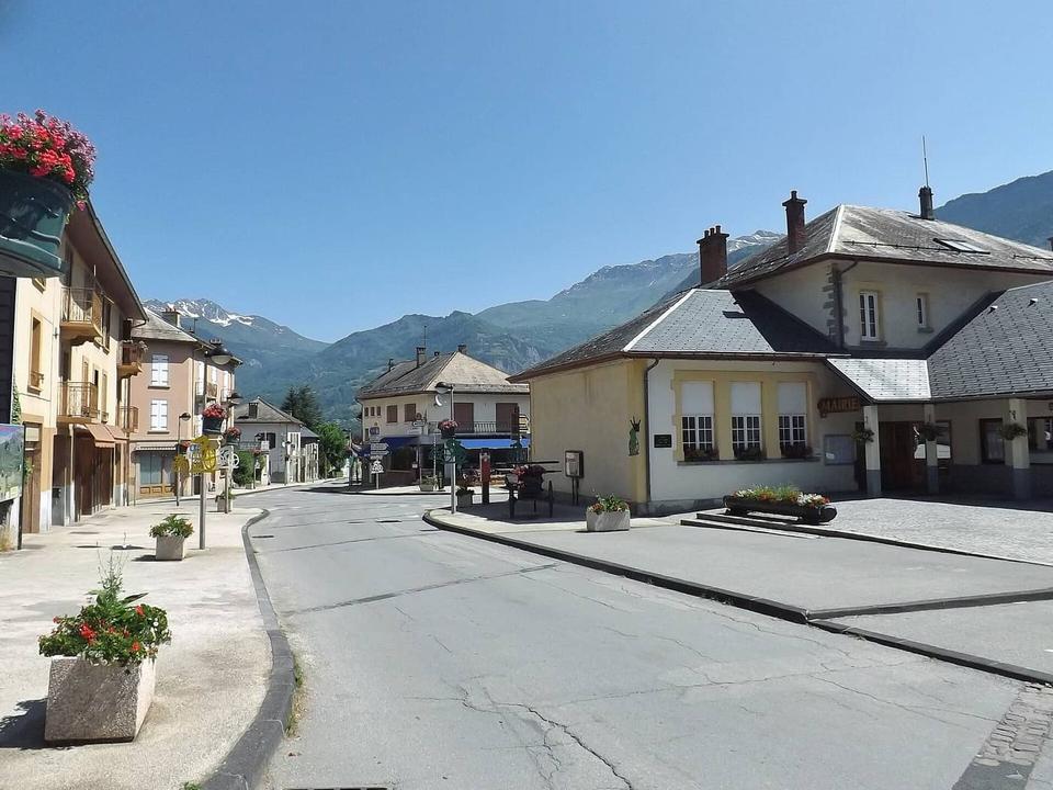 Photo: Florian Pépellin · CC BY-SA 3.0 · Wikimedia Commons
Saint-Étienne-de-Cuines
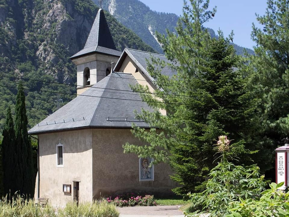 Photo: Poudou99 · CC BY-SA 3.0 · Wikimedia Commons
Pontamafrey
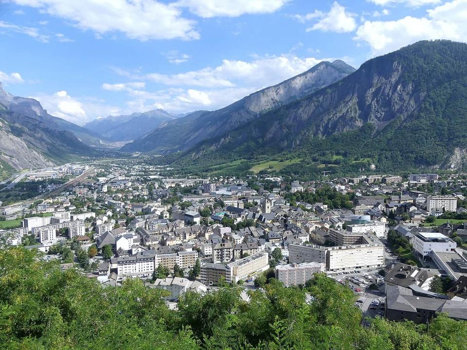 Photo: Florian Pépellin · CC BY-SA 4.0 · Wikimedia Commons
Saint-Jean-de-Maurienne
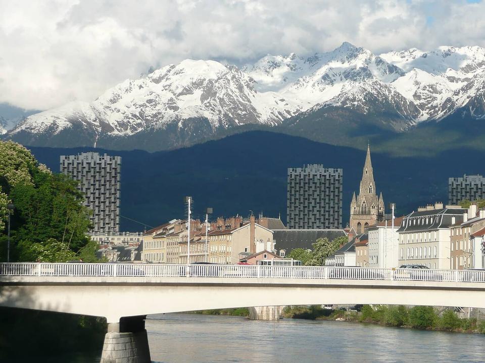 Photo: Brücke-Osteuropa · Public domain · Wikimedia Commons
Grenoble
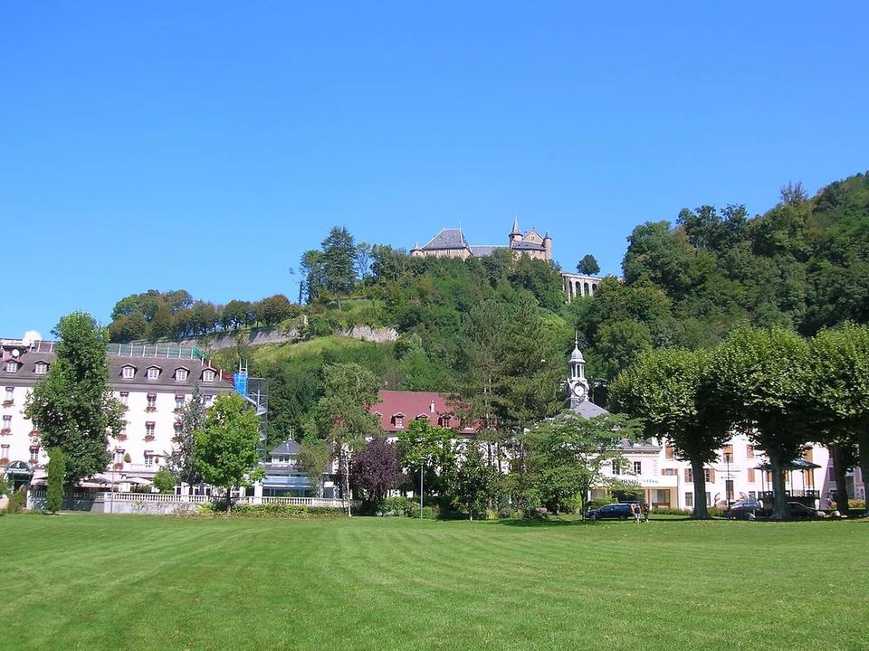 Photo: Patafisik · CC BY-SA 3.0 · Wikimedia Commons
Uriage-les-Bains
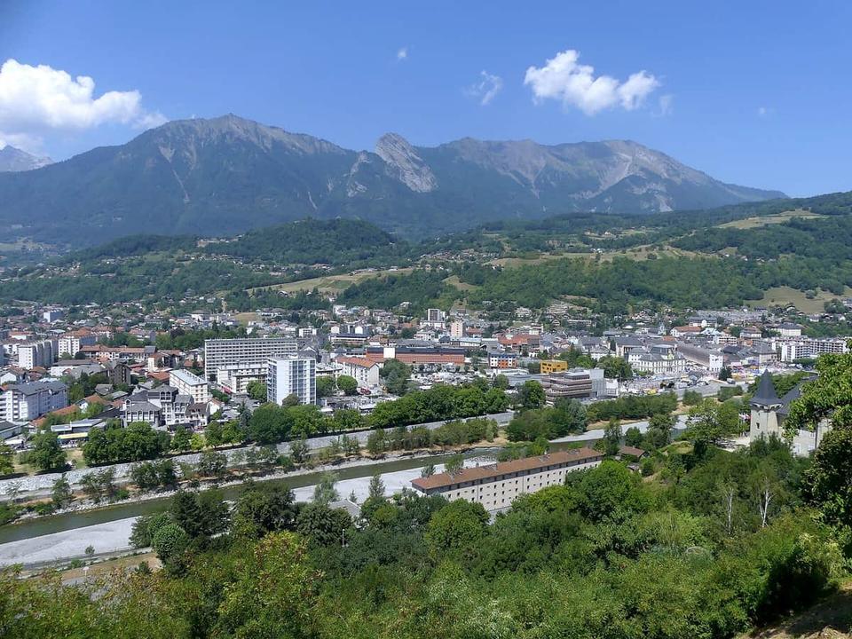 Photo: Florian Pépellin · CC BY-SA 4.0 · Wikimedia Commons
Albertville
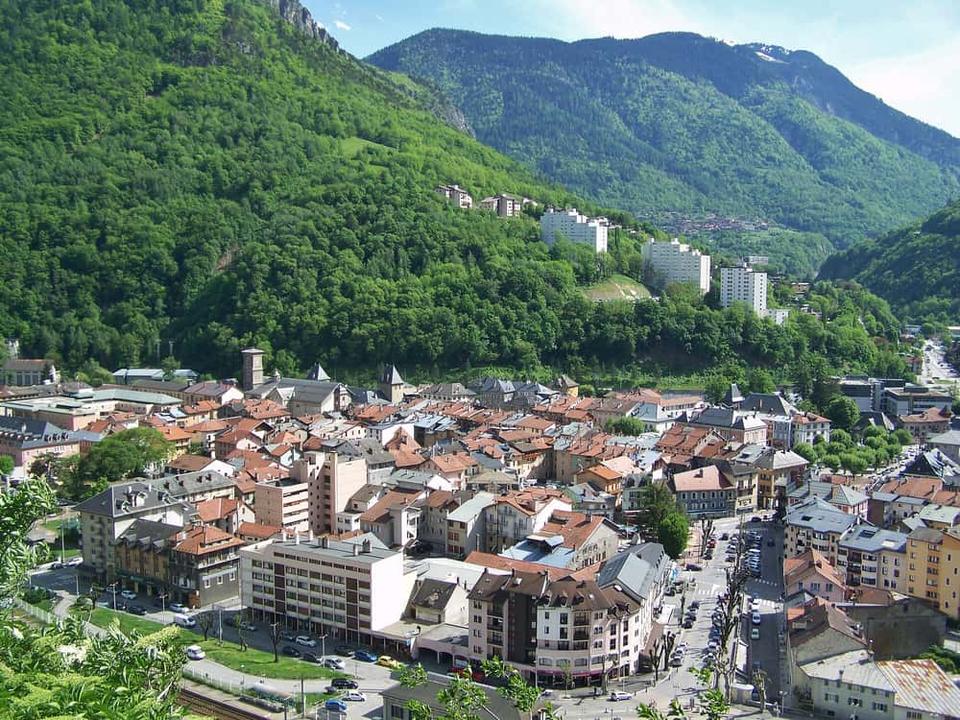 Photo: Florian Pépellin · CC BY-SA 3.0 · Wikimedia Commons
Moûtiers